

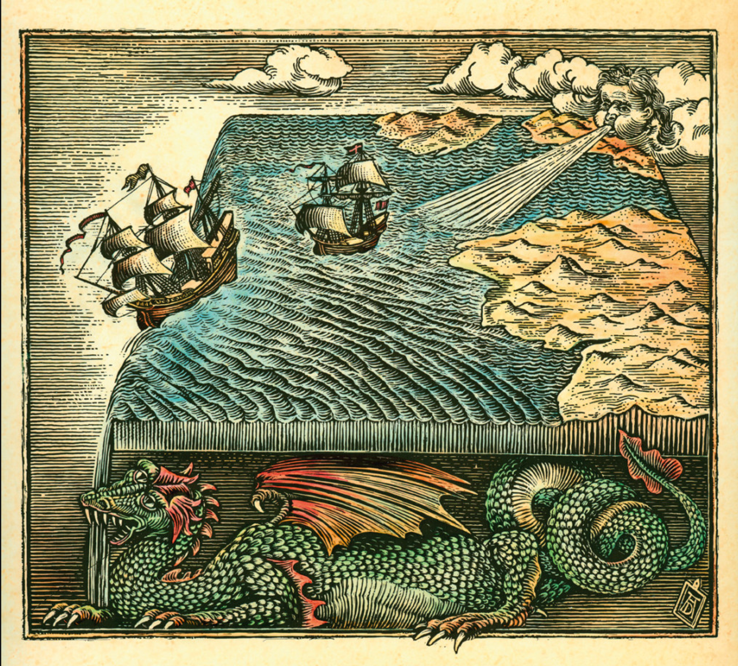


Flat Earth NOT - Saildrone Completes First Autonomous Circumnavigation of Antarctica
Saildrone Completes First Autonomous Circumnavigation of Antarctica
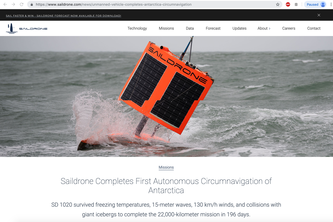
SD1020 survived freezing temperatures, 15-meter waves, 130 km/hr winds, and collisions with giant icebergs to complete the 22,000-kilometer mission in 196 days.
https://www.saildrone.com/news/unmanned-vehicle-completes-antarctica-circumnavigation
By Saildrone, on August 5, 2019
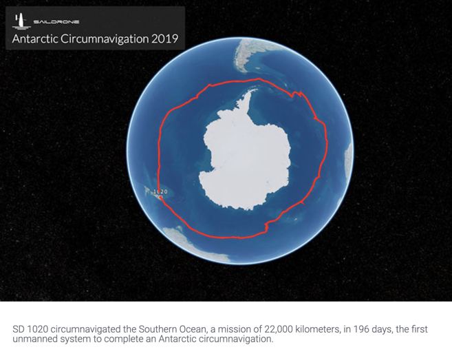
A seven-meter (23-foot) long, wind-powered unmanned surface vehicle (USV) called a saildrone has become the first unmanned system to circumnavigate Antarctica. The vehicle, known as SD 1020, was equipped with a suite of climate-grade sensors and collected data in previously unchartered waters, enabling new key insights into ocean and climate processes.
The 196-day mission was launched from Southport in Bluff, New Zealand, on January 19, 2019, returning to the same port on August 3 after sailing over 22,000 km (13,670 miles) around Antarctica. During the mission, the vehicle survived freezing temperatures, 15-meter (50-foot) waves, 130 km/h (80 mph) winds, and collisions with giant icebergs.
This mission was sponsored by the non-profit Li Ka Shing Foundation and all data made publicly available at no cost in order to accelerate our understanding of critical processes affecting humanity. The mission is also an educational outreach initiative, aiming to expose future generations to the rapid changes taking place in the Antarctic. Saildrone and the 1851 Trust partnered to develop a series of STEM lesson plans rooted in science, technology, engineering, and math, which are available to teachers free of charge on the Saildrone website at saildrone.com/antarctica.
Science collaborators on this First Saildrone Antarctic Circumnavigation include experts from the following institutions: the US National Oceanic and Atmospheric Administration (NOAA), the US National Aeronautics and Space Administration (NASA), Australia’s Commonwealth Scientific and Industrial Research Organisation (CSIRO), the Palmer Long-Term Ecological Research (LTER), the Scripps Institution of Oceanography, the Southern Ocean Observing System (SOOS), the Japan Agency for Marine-Earth Science and Technology (JAMSTEC), the Korea Polar Research Institute (KOPRI), the Norwegian Polar Institute, the University of Exeter, the University of Gothenburg, the Department of Marine Science, University of Otago, and the New Zealand National Institute of Water and Atmospheric Research (NIWA).
continued... see article URL listed above
The trip in GPS coordinates kml file - https://onedrive.live.com/?authkey=%21AHpiqTSLjnaq5SA&cid=B25CA5064B90D140&id=B25CA5064B90D140%2128958&parId=B25CA5064B90D140%21151&o=OneUp
Antarctica Circumnavigation 2019 surface and ADCP measurements - https://data.saildrone.com/data/sets/antarctica-circumnavigation-2019/access
Antarctica Circumnavigation 2019 surface and ADCP measurements OVERVIEW - https://data.saildrone.com/data/sets/antarctica-circumnavigation-2019/overview
- - -
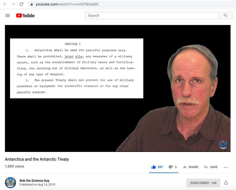
The Antarctic Treaty - why it came about and what it's about:
Antarctica and the Antarctic Treaty, by Bob the Science Guy
- - -
Update: January 22, 2021
72-Foot Robotic Saildrone Sets Sail to Map the Ocean Floor, by TomoNewsUS,
https://www.youtube.com/watch?v=K-jDYuhGXJI
ALAMEDA, CALIFORNIA — A Bay Area startup that builds autonomous ocean data collecting vessels launches its largest ship this week, the Saildrone Surveyor.
The Surveyor is powered by wind and solar energy and is designed to map the ocean floor while collecting DNA samples and climate data. The Surveyor is designed to spend up to 12 months at sea, according to Saildrone.
Only 19 percent of the world’s seabed has been mapped to modern standards, according to UNESCO.
The UN agency says a more complete map would help with ocean conservation efforts and facilitate a better understanding of weather systems, sea level rise and climate change.
Wired reports the Surveyor will sail from San Francisco to Hawaii after initial sea trials.
En route it will map regions near a series seamounts where fish and other marine animals congregate.
https://www.saildrone.com/
- - -
Update: October 5, 2021
Saildrone Completes First Autonomous Circumnavigation of Antarctica - article update.
1st ocean drone video from inside a hurricane, by Kelly Kizer Whitt (earthsky.org)
https://earthsky.org/earth/ocean-drone-hurricane-sam-video/
For the first time ever, an ocean drone has gone inside a hurricane and sent back video. This ocean drone, a 23-foot-long Saildrone Explorer SD 1045, entered the furious category-4 winds of Hurricane Sam on September 30, 2021, as it swirled in the Atlantic Ocean. The Saildrone sent back footage of 50-foot waves stirred up by 120-mile-per-hour (190 kph) winds. The resulting videos of the tempest-tossed ocean could make even those watching on solid ground feel a little seasick.
-
SD 1045 Inside Hurricane Sam 1400UTC Sept 30 2021
https://www.youtube.com/watch?v=uQM_03zuSAI
POV video captured by SD 1045's onboard camera from inside Hurricane Sam in the Atlantic Ocean at 1400UTC Sept 30, 2021.
- -
Published on – February 29, 2020
Discussion at - https://www.youtube.com/channel/UC7ipUKERU0tzYFxALJBli4A/discussion
Our home page all articles - http://flatearthlunacy.com
kind regards, JonahTheScientist